
Cyclists' Home Page | Davenport Station | Cycle Stockport | Stockport Council Cycling pages
These supplementary cyclist's pages are for everyone who enjoy cycling around the south Stockport area, and especially those who attend the Stockport Council Cycle User Group meetings, which are freely open to all. New faces are always welcome.
Note: this is a strictly unofficial site, not connected with or approved by Stockport Council or Northern Rail.
Created and compiled by Charlie Hulme.
The New A6 - Airport Road : a look at the top section
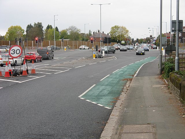
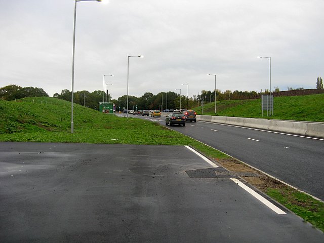
Visiting Brookside Garden Centre on 21 October 2018, we rook the chance to explore the cycle facilities of the section of newly-opened A555 road between Macclesfield Road and the A6. The picture looks across the new junction with Macclesfield Road towards Hazel Grove. A short length of new on-road cycle lane is on offer ...
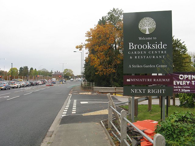
... but ends before the exit from the garden centre, as this view back from further along shows. Incidentally, don't expect to take your kids on the miniature railway, it closed in September for an unknown period.
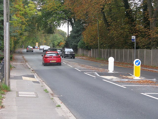
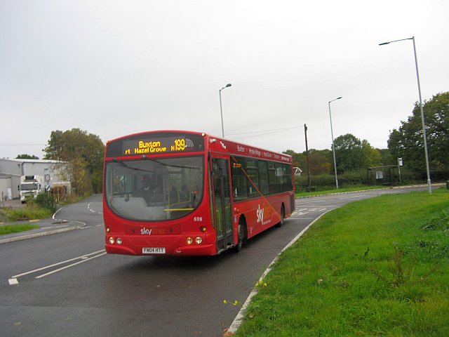
Looking towards Poynton, there's nothing for cyclists except the wide refuge, which gives a chance to cross, and turn right to reach some shared path towards the junction, although its main use seems to be for bus passengers.
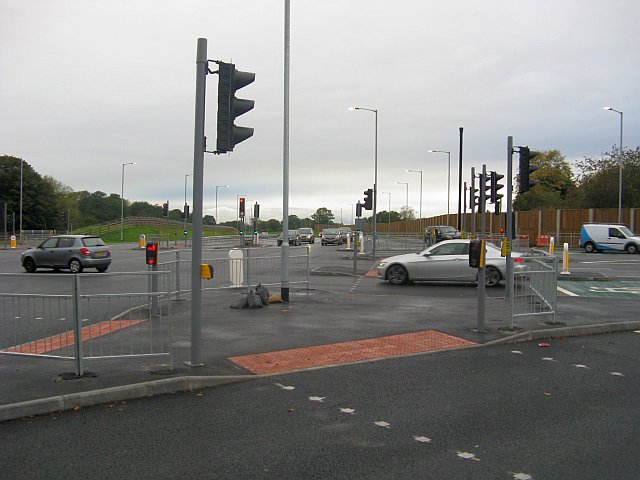
Now we are heading from the garden centre towards the new road. There are three separate Toucan Crossing phases to reach the shared path to the A6, which starts behind where the blue and white van is in the view.
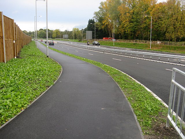
On the 'shared path' towards the A6 at last. It has a good surface, but as it is two-way (no path on the other side) it's only just wide enough.
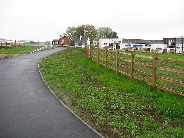
Further along we pass what's left of the woodland and approach the bridge carrying a publivc right of way from the Ladybrook Valley to Mill Lane.
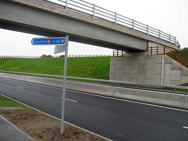
This bridge is connected to the main path by a rather steep ramp, but cycling is allowed.
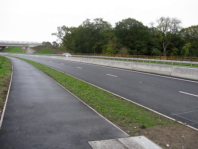
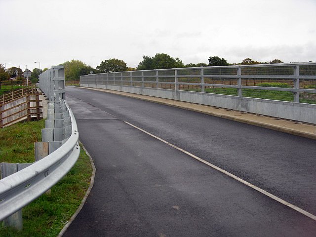
We then pass under the bridge carrying the Buxton railway line, and the bridge carrying the original A6 road, at which point the path alongside the road ends and cyclists must either join the carriageway of the new road ...
... or turn left onto a path which climbs in a horseshoe route up to the old A6 (still called Buxton Road), opposite the old Simpsons factory and close to the top of Mill Lane.
Before returning via Mill Lane, we decided to explore the by-passed of the old road towards High Lane, which is for buses, cyclists, pedestrians, and horses only. It's not clear whether we should be on the road or the pavement.
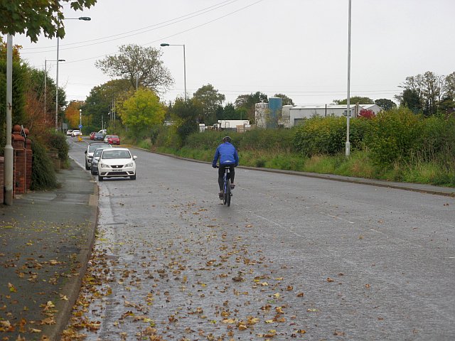
Heading uphill towards High Lane ...
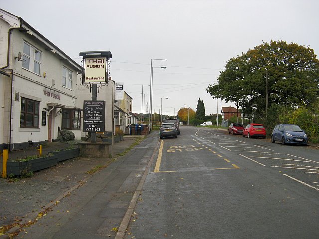
... past the old Robin Hood pub, now apparently abandoned.
A bus making use of its allowed route; note the bus stop in the distance which has to be served. The road on the left is Norbury Hollow Road.
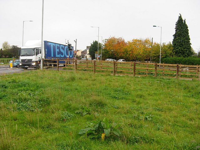
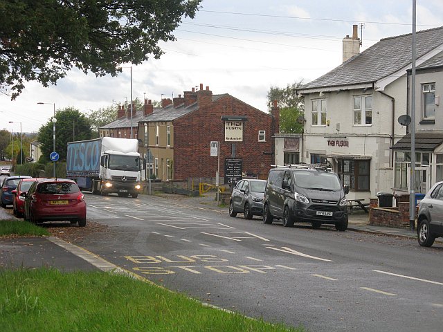
At the junction with the old road, we felt quite disoriented, as apparently did several motorists, and a Tesco Lorry.
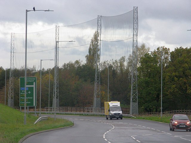
Looking along the new section of road (with no cycle lanes) we see the monstrous 20-metre-high net which has been erected to protect from stray golf balls from the adjacent course. To use this seems not only absurd, but also a danger to birds.
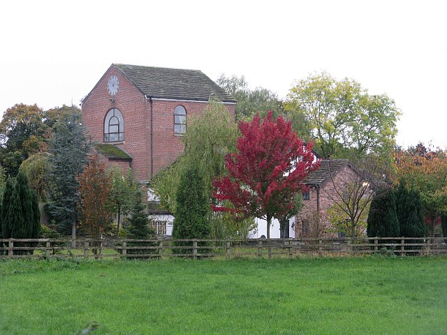
Back at the Norbury Hollow junction, there is a good view of the house which was converted from a colliery winding house, One of the few large relic of the area's coal mining past.
As we head back down we pass the lorry returning, having made use of the turning space provided before the bridge.
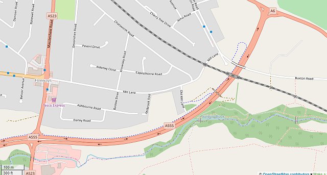
Here's an extract from Open Street Map showing the area.
Text and images by Charlie Hulme, October 2018.
To the Davenport station home page